
Peru and Global Fishing Watch sign scientific partnership to strengthen marine research and transparency
The new agreement aims to advance fisheries science and vessel monitoring through shared data and collaborative research.
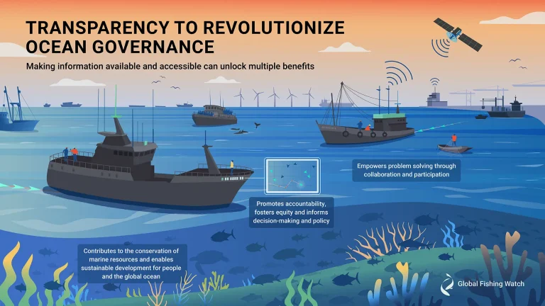
Transparency is essential to promoting sustainable ocean governance
Transparency is essential to promoting sustainable ocean governance and mitigating against illegal, unreported and unregulated (IUU) fishing. Through clear data-sharing practices such as vessel tracking, public registration, identification, ownership disclosure

Tracking the Invisible Fleets: The Global Push to Bring Industrial Fishing Out of the Shadows
In Conversation with Courtney Farthing With 75 percent of industrial vessels evading public monitoring, Global Fishing Watch’s policy team is driving efforts for binding vessel tracking rules — and a new era of accountability at sea. The ocean plays a

The offshore oil boom is fueling a climate crisis at sea
New satellite analysis reveals widespread pollution from offshore oil operations threatening ocean and climate A surge in offshore oil and gas operations is leaving a slick trail of pollution across the world’s oceans, a new report from environmental watchdog SkyTruth
Python Package Release
A new Python package is available for interacting with Global Fishing Watch APIs.

Unmasking Forced Labor at Sea: How AI Is Tracking Exploitation on the Open Ocean
In Conversation with Rocío Joo Using satellite data and machine learning, Global Fishing Watch is working to reveal human rights abuses in the fishing industry — and help authorities take action The open ocean remains one of the most challenging

Mapping industrial vessel emissions at sea
Pilot study first to estimate the greenhouse gas emissions of all large industrial vessels operating in the ocean As part of our ongoing work to shine a light on all industrial activity at sea, we have, for the first time
Panama strengthens oversight of its international fleet with a new transshipment monitoring policy
Backed by Global Fishing Watch, the new guidelines enhance vessels monitoring and mandate the integration of new open data technologies A new policy document adopted by the government of Panama is slated to help the Central American country improve controls

Vessel Identity Fields from TMT
New vessel identity information is now available in vessel profiles in Vessel Viewer.

Ask the Expert: Amanda Lohmann, Data scientist, vessel tracking and behavior
What information can be accessed in the public apparent fishing effort dataset and what has changed in the latest release?

Public Apparent Fishing Effort Dataset Updated
Our static dataset now covers 2012-2024, with nearly 370 million hours of fishing activity.

How Data and Transparency Are Transforming Ocean Governance
In Conversation with Cian Luck A conversation on the quest to unveil hidden fishing vessel activity at sea Cian Luck, a senior fisheries analyst with the global programs team at Global Fishing Watch, studies his computer screen. Shades of blue