ⓒ Ben Dilley
The Issue
Fisheries play a crucial role in Africa, particularly for coastal populations that rely on the sector for both food and economic security. According to the World Bank, fisheries and aquaculture directly contribute $24 billion to the African economy, and due to a growing population and per capita income, demand for fish is expected to increase by 30 percent by 2030. But as Africa’s coastal nations grapple with the pressures of climate change, dwindling marine resources and environmental threats, the stakes for the continent’s fisheries and coastal communities have never been higher.
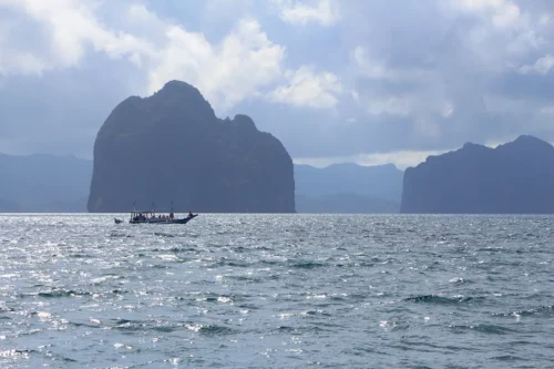
Located in Palma Bay, in the Cabo Delgado province of northern Mozambique, TotalEnergies’ Mozambique LNG Project is one of the largest liquefied natural gas ventures in Africa. It also sits near the Quirimbas National Park, a marine protected area within the Quirimbas Archipelago that hosts more than 180 coral species and supports the fishing livelihoods of thousands of families.
Following a temporary suspension in 2021 due to regional insecurity, TotalEnergies resumed Project operations in 2025 albeit with an official confirmation that offshore activities would remain halted throughout the year. Still, the lack of verified, publicly accessible information has left local stakeholders uncertain about the true status of offshore work and its potential effects on coral ecosystems and the broader marine environment.
Our Work
To shine a light on any potential offshore activity related to the Mozambique LNG Project, the investigative research organization Data Desk leveraged Global Fishing Watch’s open source tools and analyzed automatic identification system (AIS) data tied to non-fishing vessel activity in the Palma Bay area. The researchers quickly noticed that despite the declared suspension of offshore activity, dredging vessels involved with the Mozambique LNG Project had continued to operate in the vicinity of Palma Bay and, in particular, along the planned route of the Project’s Golfinho pipeline. Moreover, the researchers confirmed that this activity had persisted from October 2024 through mid-2025 during the period when offshore work was to remain suspended.
Data Desk researchers were further able to document that the dredging vessel activity had occurred on a daily basis. To verify the AIS data, researchers used the Global Fishing Watch map to compare vessel tracks with Sentinel-2 satellite imagery. The images, dated to July 2025, offered undeniable visual proof of sediment plumes and a visible channel cut through live coral reefs.
The combination of Global Fishing Watch’s open-source, near real-time data and access to satellite imagery provided Data Desk researchers with critical information that ultimately led to a public acknowledgement by Mozambique LNG Project contractors that dredging had indeed occurred during the October 2024 to mid-2025 period, contrary to TotalEnergies’ initial statements. This information permitted local stakeholders — from civil society actors and journalists to local officials and small scale fishing communities — to obtain visibility into activities directly affecting their fishing grounds and the local marine environment and support regional activism efforts.

